


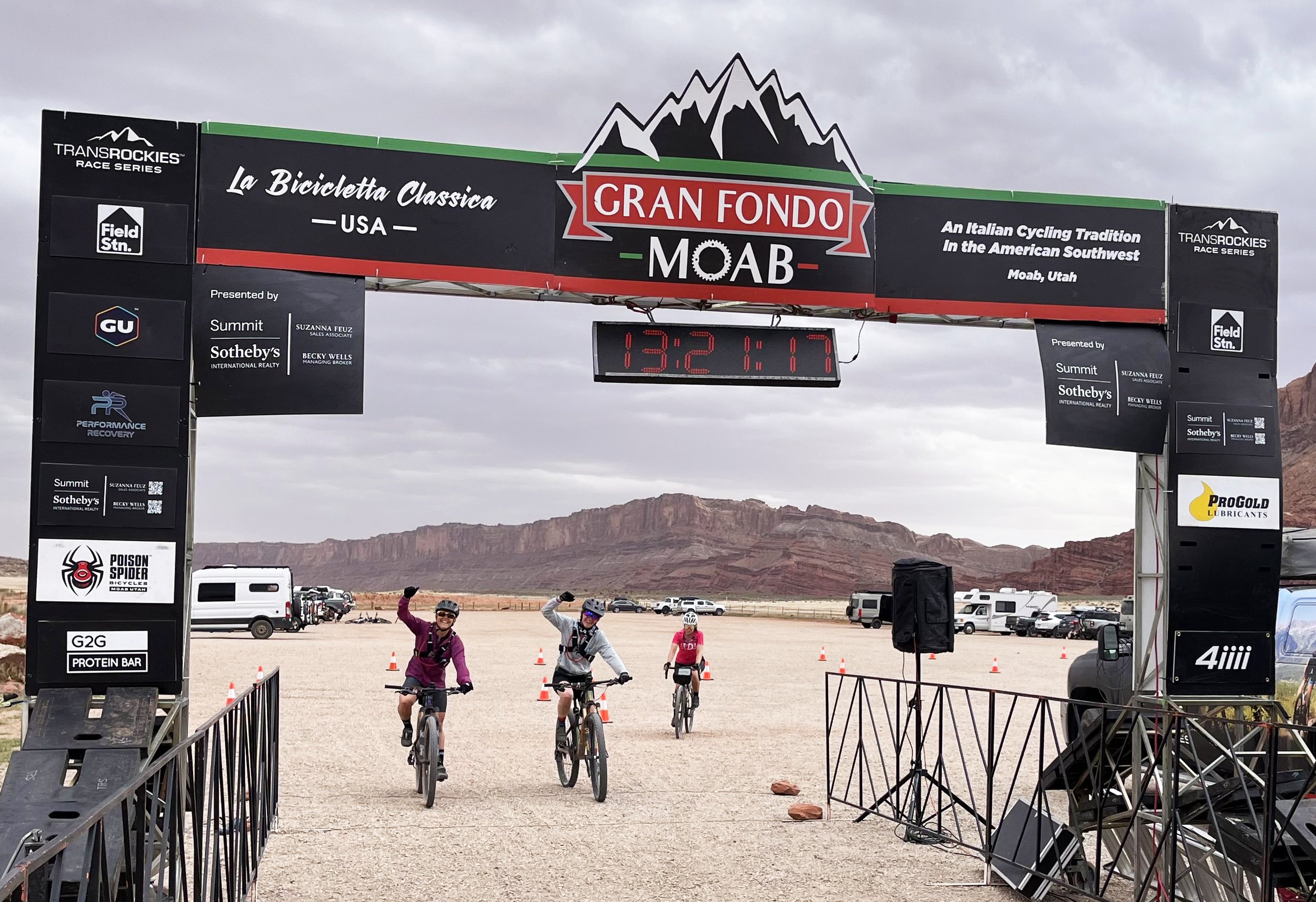
Gravel Fondo Moab
Conquer the desert gravel paradise – enjoy the canyons and vistas!
Sunday, May 2, 2027
REGISTRATION OPENS AUG 12, 2026
Only 350 spots available!
2027 SCHEDULE
Friday, April 30
2:00 - 6:00pm: Race Packet Pick Up - Swanny City Park, Moab - 400 N 100 W, Moab
Saturday, May 1
2:00 - 5:00pm: Race Packet Pick Up - Swanny City Park, Moab
Sunday, May 2
7:00am – 7:30am: Package Pick Up at Bar M Parking Lot
7:45am: Call to Start
8:00am: Gravel Fondo Start
12:00pm - 4:30pm: Finish at Bar M Parking Lot and Lunch at Swanny City Park
3:30pm: Awards at Swanny City Park
4:00pm: Gravel Fondo Course Closes
** This is a mandatory start time to receive timing and support. Anyone who starts before or after 8:00am will not be supported or get a time. **
ROUTE TIMING
Each route will be timed from start to finish, giving all riders a complete course time. In addition, a designated KOM/QOM segment will be recorded on the Gemini Bridges Road, finishing just before the Bull Run aid station.
KOM/QOM PRIZING
For riders looking to push themselves, there’s an additional 11.4-mile timed KOM and QOM section that will begin once hit Gemini Bridges Road and finish just before the Aid Station at the Bull Run trailhead. The top five fastest men and women will earn prizes, so take on the challenge and see how you rank!
COURSE NOTES
ALL riders will receive a bike number and wristband. You must wear your event wristband to get access to the course, aid stations, and lunch.
This is a timed event, riders will not be able to enter the route before the event start time. Please warm up in the parking lot on the north side.
The route will be on open roads with two-way motorized traffic. All cyclists’ must obey traffic laws at all times. There will be a strict center line rule, even on the parts of the course that have no painted center line. The gravel roads in the mountains are narrow, with blind corners where riders can encounter oncoming motorized vehicles so always stay as far right as possible. Please ride with caution.
The route is designed for gravel bikes and we recommend a tire width of 45mm or larger, but various bike types are suitable.
DOWNHILL CAUTION
Be extremely careful on the downhills as some of this route can be technical and these roads are open to motorized traffic, such as motorbikes and ATV’s. Ride with caution!
FAQ’s
Questions? You can find answers here.
MECHANICAL SUPPORT
There will be on-site mechanical support.
SPECTATORS
Spectators are welcome at the start and finish lines!


Moab Fondo Fest – Gravel Route Descriptions
The Entrada Epic (Long) – 72 miles / 115 km
Elevation Gain: ~3,983 feet / 1,214 m
The 72 Mile Gravel Fondo is the ultimate Moab gravel adventure—long, remote, and unforgettable. Like the other courses, this starts riders off at Bar M and pushes them deep into the desert, linking expansive valleys, high desert plateaus, and rugged canyon landscapes that define the Moab experience.
Riders will face extended climbs, long stretches of exposed terrain, and a constantly changing gravel surface that ranges from fast-rolling dirt, sandy sections to chunky, demanding sections. The remoteness of this route adds to the challenge, requiring strong fitness, solid bike handling skills, and careful attention to hydration and nutrition.
Those who take on the 72-mile course are rewarded with unparalleled solitude, massive views, and the satisfaction of completing a true desert endurance ride.
Best For: Strong, experienced gravel riders seeking a full-day endurance test and a deep immersion into Moab’s backcountry.
Aid Stations:
Mile 15.2: Bullrun Trailhead (off Gemini Bridges Road)
Mile 33.9: Ten Mile Road and Old Dead Horse Point Road
Mile 55: Ten Mile Road and Old Dead Horse Point Road
Note: Expect occasional sandy or rocky stretches throughout the course. Wider gravel tires (at least 45mm) are strongly recommended, and even a hardtail mountain bike would not be out of place for added control and comfort.
The Navajo Nomad (Medium) – 50 miles / 80.8 km
Elevation Gain: ~3,264 feet / 995 m
The 50 Mile Gravel Fondo starts off from the Bar M parking lot and strikes the perfect balance between challenge and adventure. Expanding beyond the 30-mile course, this route dives deeper into Moab’s backcountry with longer climbs, more remote sections, and bigger views.
Riders will tackle sustained gravel ascents, rolling plateaus, and thrilling descents framed by mesas, canyons, and expansive desert horizons. Terrain varies from smooth hardpack to rougher gravel roads, with occasional washboard and sandy sections that demand focus and smart line choice.
This course tests endurance and fueling strategy while remaining incredibly rewarding, offering classic Moab riding without venturing into overly technical terrain.
Best For: Intermediate to Experienced gravel riders looking for a solid endurance challenge and a full day of Moab adventure.
Aid Stations:
Mile 15.2: Bullrun Trailhead (off Gemini Bridges Road)
Mile 33.9: Ten Mile Road and Old Dead Horse Point Road
Note: While shorter than the long course, the medium route still features rugged terrain and loose surfaces in sections. Consider wider tires or a hardtail MTB for improved handling.
The Chinle Challenge (Short) – 30 miles / 50 km
Elevation Gain: ~2,175 feet / 663 m
The 30 Mile Gravel Fondo is the perfect introduction to Moab’s iconic backcountry riding. Rolling out from Bar M, riders quickly transition onto wide, well-maintained gravel roads that showcase sweeping desert views, towering red rock cliffs, and that classic Moab feel.
The course features a steady mix of big climbs and skilled descents, with terrain that ranges from packed dirt to loose gravel to short sandy stretches to a paved downhill back to the finish line. Riders will experience open desert vistas, canyon corridors, and quiet backcountry roads that feel far removed from civilization—yet remain approachable for newer gravel riders.
This route rewards consistent pacing and offers plenty of opportunities to soak in the scenery while still delivering a satisfying physical challenge.
Best For: Newer gravel riders, riders building endurance, or those looking for a scenic but manageable Moab experience..
Aid Station:
Mile 15.2: Bullrun Trailhead (off Gemini Bridges Road)
Note: Some loose or sandy patches may be present, especially early in the route. Wider gravel tires (45mm or wider) with solid tread are advised, a hardtail mountain bike would not be overkill for added stability.
Important Weather Notice: In the unusual case of rainy conditions, routes may become impassable due to mud or flooding. For rider safety, course modifications or cancellations may occur at the discretion of event organizers. Please monitor pre-race communications for updates.
*All distances and elevation gain are approximate and will vary depending on the watch, app, or measuring device that you use.
*Due to unforeseen limitations, the following information is subject to change at any time before, during, or after the start of each stage.
